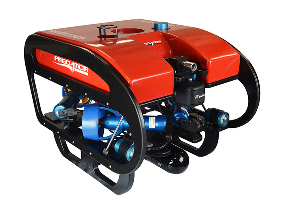
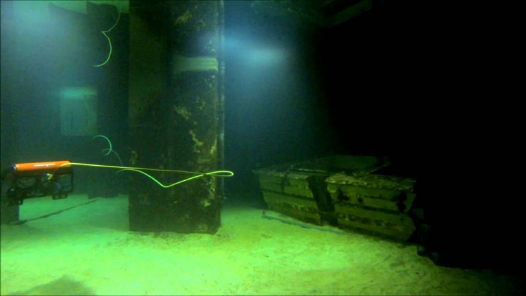
ESL have recently purchased a Seatronics Predator inspection class ROV to add to our Hydrographic suite. This shall be used for underwater inspections up to 300m depth and shall complement our existing Multi Beam and Single Beam capability. ROV Training has been carried out at Seatronics Office in Singapore with Paul, Mike and Mathew attending.
Please contact Paul Chan at [email protected] for details and/or Quotation.
As an addition to our Tidemaster pressure sensor Tide Gauge(s) we have also purchased a Tidemaster Radar Sensor allowing automatic Tide Readings where a pressure sensor cannot be deployed. As with the Pressure Sensor type the calibrated sea level is uploaded online in real time.


