


Projects
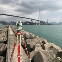
Geodetic, Land and Engineering Survey
Projects (Number): 145 Duration (Months): 458 Value (HK$million): >100

Engineering Support Services
Projects (Number): 51 Duration (Months): 406 Value (HK$million): >150
Civil Infrastructure Support Services
Projects (Number): 42 Duration (Months): 432 Value (HK$million): >200
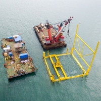
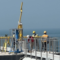
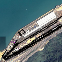
Hydrographic Survey & Marine Construction
Projects (Number): 37 Duration (Months): 104 Value (HK$million): >50
Geotechnical Monitoring & Instrumentation
Projects (Number): 32 Duration (Months): 329 Value (HK$million): >100
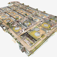
From Spatial Data to BIM & Virtual Construction
Projects (Number): 64 Duration (Months): 110 Value (HK$million): >25
Laser Scanning & 3D Topographic Surveys
Projects (Number): 112 Duration (Months): 237 Value (HK$million): >50

UAV Mapping & LAE
Projects (Number): 48 Duration (Months): 99 Value (HK$million):>20