


Services
Geodetic, Land and Engineering Survey
Geodetic, Land & Engineering Support Sevices from Civil Infrastructure to MEP.
Engineering Support Services
MTR RSI/CP(T) certification with extensive experience in construction support services to MTR
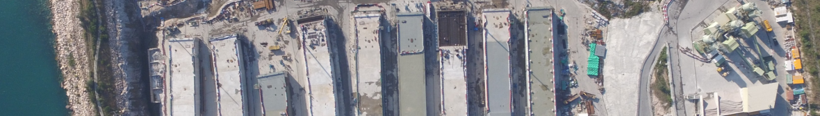
Civil Infrastructre Support Services
Engineering Surveys provide Survey Management, Survey Teams and back up services to the Civil Construction Industry.
Hydrographic Survey & Marine Construction
Hydrographic and Marine Construction using ESL Survey 2
Geotechnical Monitoring & instrumentation
Instrumentation and Monitoring ensures the safety of construction undertakings.
From Spatial Data to BIM & Virtual Construction
Spatial data and Reality Capture are integral to Digital Twin visualisations.