


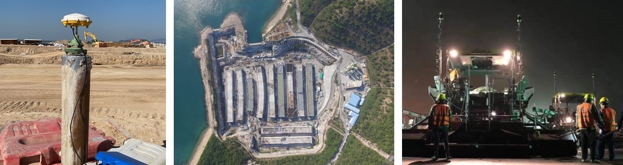
The move towards a digital world has not left land surveying behind, rather we are at the forefront of applying new technologies to real world situations.
3D Spatial data is at the core of many new technologies including BIM, Digital twins and Virtual Construction. ESL provide this data along with the knowledge to apply it correctly for Government departments, contractors, consultants and architects.
In this digital world spatial data must be correct, first time, otherwise expensive downstream re-work will hit both budget and programme. With 25 years experience in the Geomatics field ESL know the importance of keeping quality at the core of our business.