


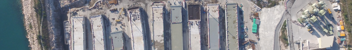
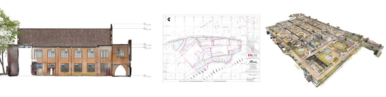
3D mapping has generally replaced 2D plans due to the requirement for compatibility with BIM and digital design. Generating these maps via Laser Scanning ensures no revisits and provides panoramic photos to serve as a permanent record of the condition during survey.
There are now many options for Laser Scanning data collection. ESL can provide the most appropriate and efficient solution and meet the increasing demand for quality deliverables in the right timeframe and at the right cost.