


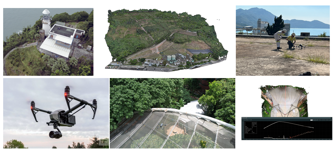
UAV mapping in support of map sheet updating, progress monitoring and DTM generation is well established.
The recent focus on Low Altitude Economy (LAE) will drive a significant change in regulation surrounding UAV's with increased weight allowances and Beyond Visual Line of Sight (BVLOS) flights likely being approved this year.
These changes will allow for greater and more diverse payloads and drive an exponential rise in the survey uses of such technology.
ESL are certified for Advance UAV operations by HKCAD and can provide solutions at short notice.