Home
Our History
Our People
Certification
About
Services
Projects
News
Contact & Find Us
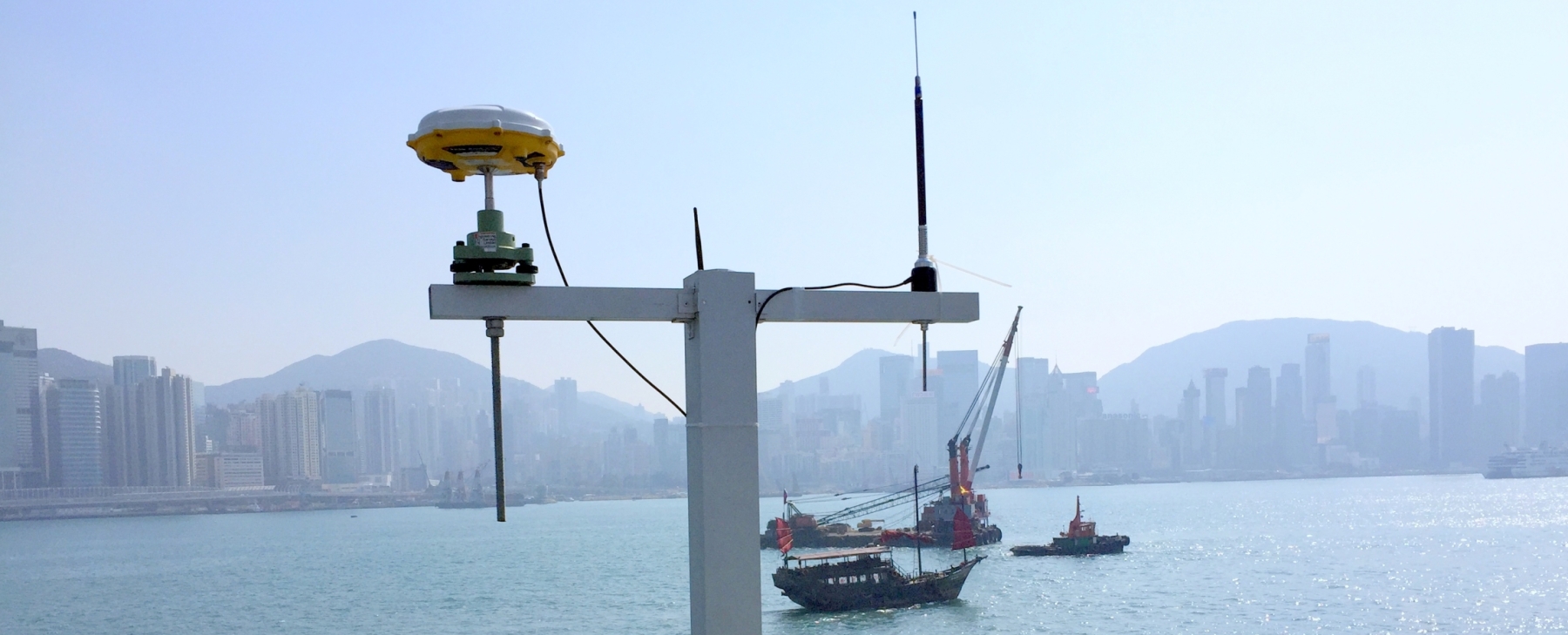
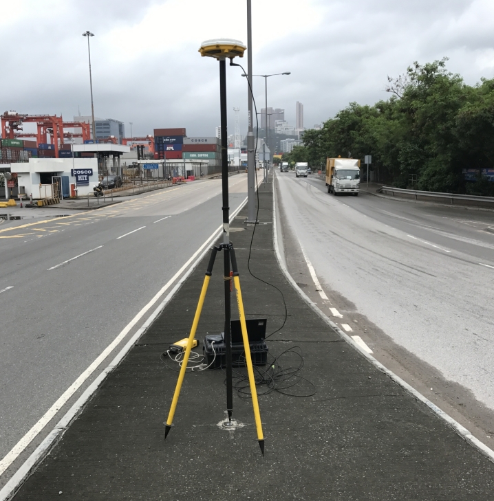
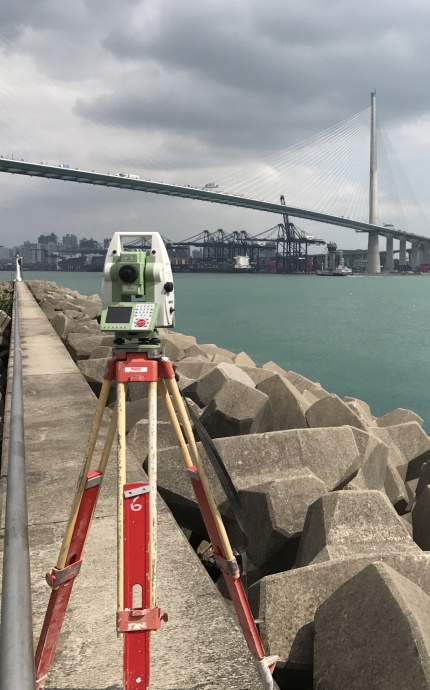
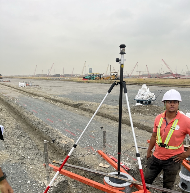
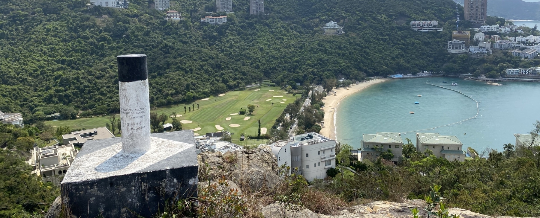
Geodetic, Land & Engineeering Surveys
Since 2000
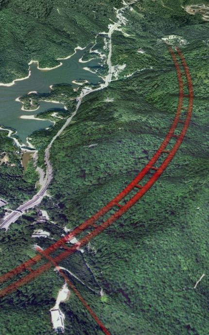
Infrastructure & Railway Surveys
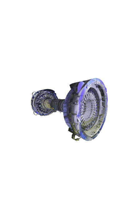
Spatial Data, Reality Capture & BIM
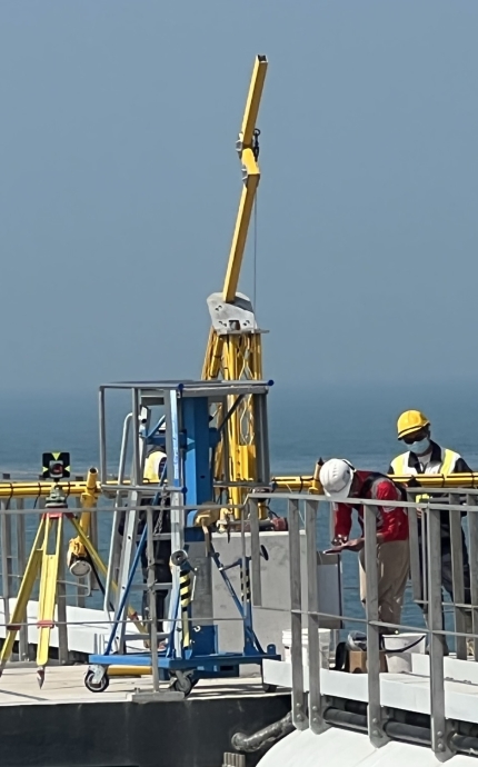
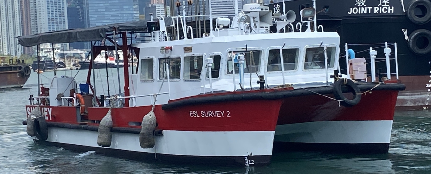
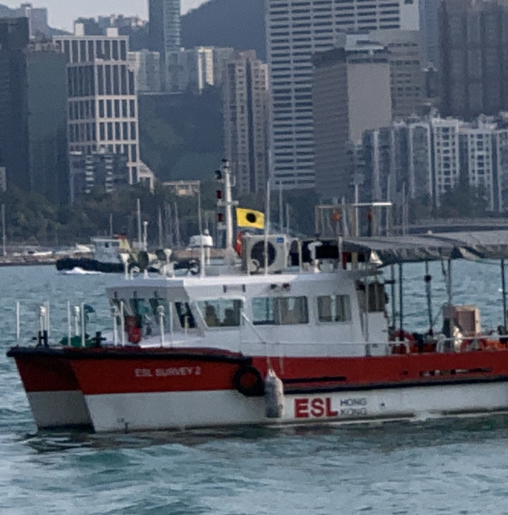
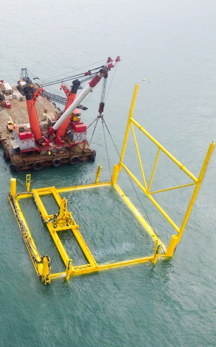
Hydrographic Survey & Marine Construction
UAV Mapping & LAE
Geotechnical Monitoring & Instrumentation
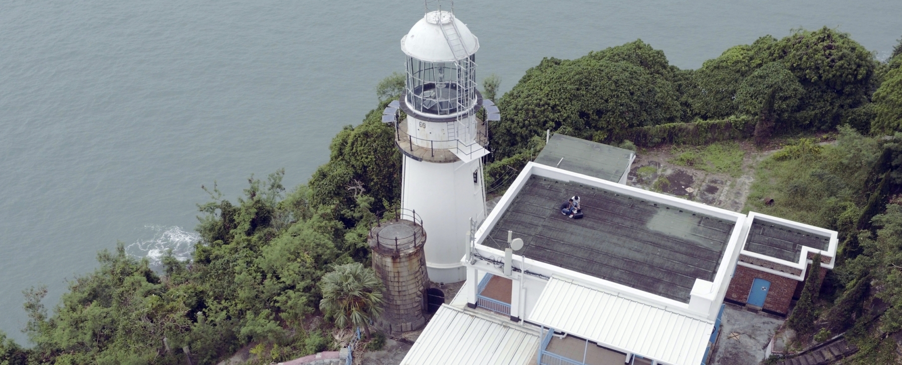
Laser Scanning & 3D Topographic Surveys
Construction Support & Consultancy Services