


News
29.04.2024
Congratulations to Patrick, now a Chartered Land Surveyor
Congratulations to Patrick Kan who has recently been elected as a professional member of the RICS.
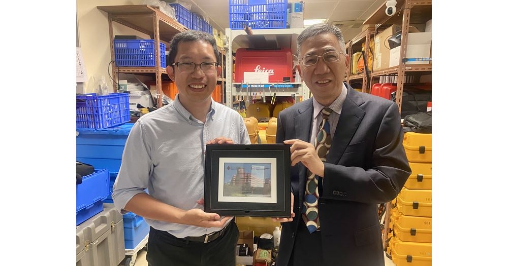
25.05.2023
ESL Donate Survey Equipment to Polytechnic University
Prof. Wu Chen presents Certificate of Appreciation to ESL following our donation of Survey Equipment to the University. Link below: https://www.polyu.edu.hk/lsgi/news-and-events/news/2023/0504-esl-hong-kong-limited-has-kindly-donated-eight-total-stations-and-eight-digital-levels/
04.06.2020
CIC Certified BIM Manager
ESL Director Gordon Ferrier has been added to the list of CIC Certified BIM Managers. This will assist in projects where the BIM component requires a Certified Manager. CIC are currently the certifying body in HK.
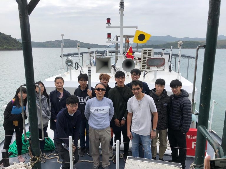
26.02.2020
HK Polytechnic University Hydrographic Survey Camp
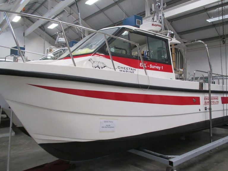
Paul, Jaden and Matthew recently hosted the Polytechnic University survey camp in Sai Kung on board “ESL Survey 2”. Despite the untimely Virus the camp went ahead as scheduled and was enjoyed by all.
04.12.2017
3rd Runway Contract Award
ESL have been awarded Contract 3117 “Independent Geophysical Seabed Survey Services” by HK Airport Authority. Dr Rosemary Quinn shall lead the team on this Project.
14.10.2017
Paul Chan appointed as “Partner”
Paul Chan was appointed as our first “Partner” earlier this year (apologies for the late post).Our intention is to use the “Partner” model (common with other professional service companies) to encourage a dynamic, go ahead culture within the business.
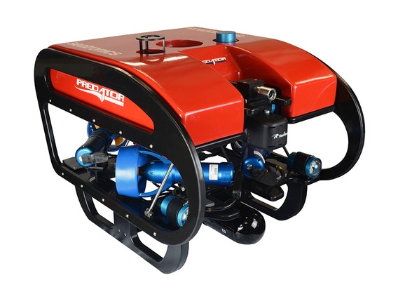
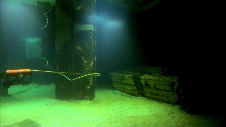
14.09.2017
ESL purchase Inspection class ROV
ESL have recently purchased a Seatronics Predator inspection class ROV to add to our Hydrographic suite. This shall be used for underwater inspections up to 300m depth and shall complement our existing Multi Beam and Single Beam capability. ROV Training has been carried out at Seatronics Office in Singapore with Paul, Mike and Mathew attending. Please contact Paul Chan at klchan@engsurveys.com.hk for details and/or Quotation. As an addition to our Tidemaster pressure sensor Tide Gauge(s) we have also purchased a Tidemaster Radar Sensor allowing automatic Tide Readings where a pressure sensor cannot be deployed. As with the Pressure Sensor type the calibrated sea level is uploaded online in real time.
24.06.2017
Navigation System for underwater gravel spreading
Engineering Surveys have recently completed the provision and commissioning of a navigation and control system for underwater gravel spreading. More to follow….
14.04.2017
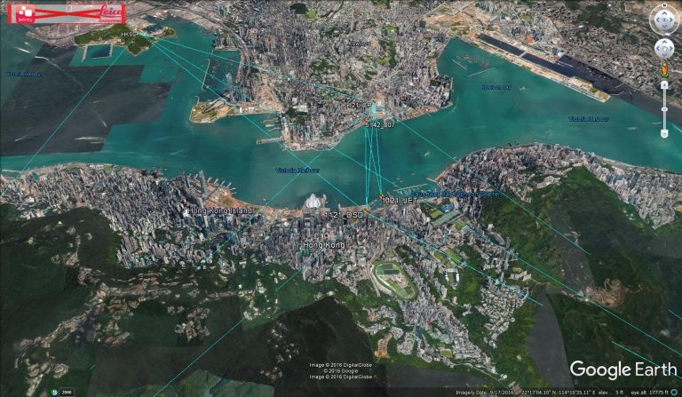
Point Cloud Visualiser
ESL are currently using a point cloud visualiser in order to share Scanning data with clients and allow stakeholders to follow progress. View Point Cloud Here
29.01.2017
ESL purchase Leica Infinity
ESL have recently purchased Leica Infinity software, the replacement fot Leica GeoOffice. Infinity allows us to process GNSS data using GPS/Glonass/Gallileo/Baidou and QZ satellite data.